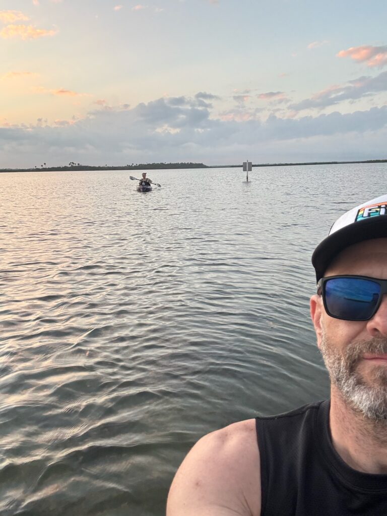
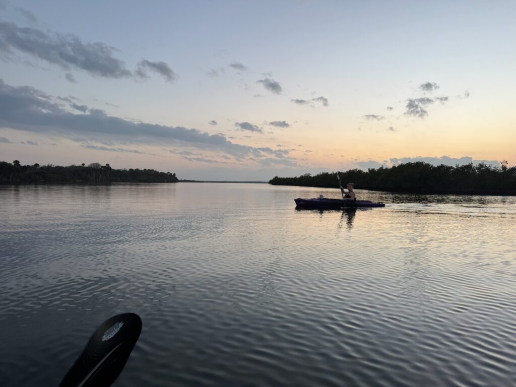
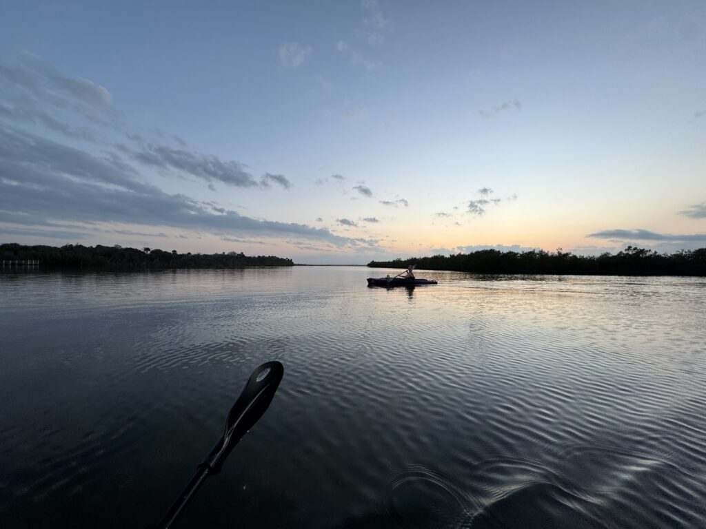
There’s nothing quite like watching a perfectly laid plan unravel in real-time. Picture this: kayaking through Florida’s Mosquito Lagoon, navigating its iconic mangrove labyrinth, and leaving all the stress of the mainland behind. But instead of tranquility, we found ourselves kicked out of our comfort zone, quite literally, and into a twisting labyrinth of tangled roots and brackish water. Little did we know, our serene day was about to turn into a misadventure we’d never forget.
Mosquito Lagoon, located in the Indian River in East Central Florida, is an exhilarating place to kayak – one of the many reasons are the mangrove canals. There is a fascinating history behind these manmade waterways; the short version is they were dug for mosquito control back in the 1920s. The long version can be found scattered around the internet, but a good starting place is this blog.
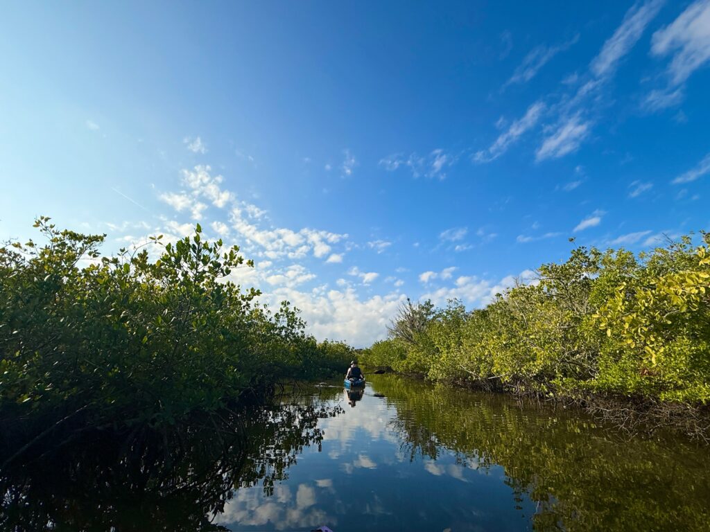
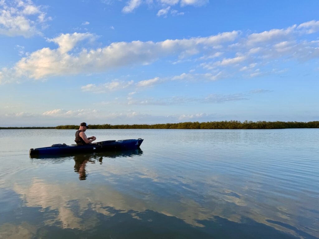
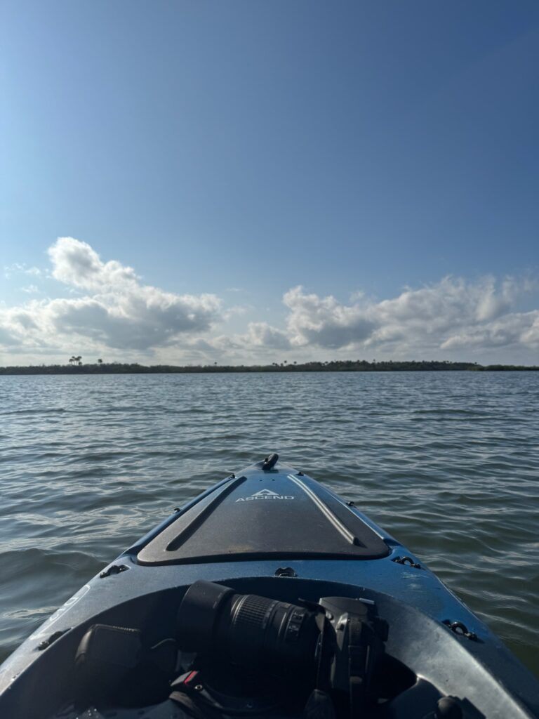
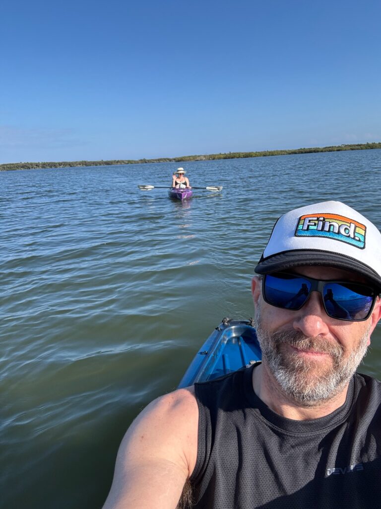
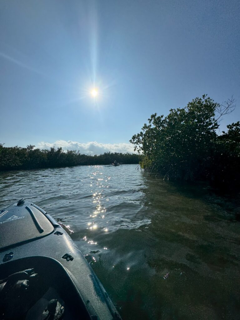
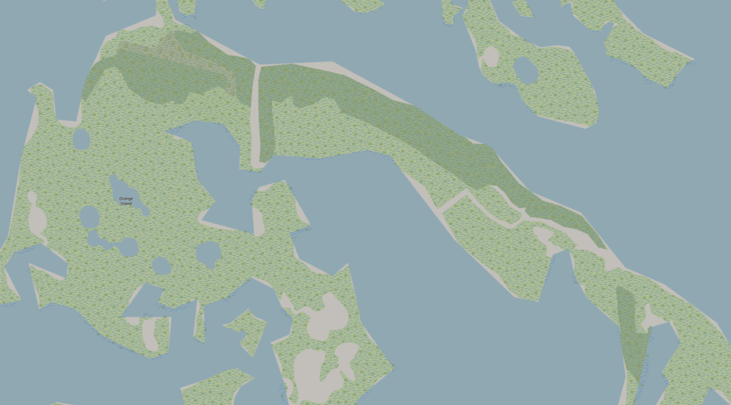
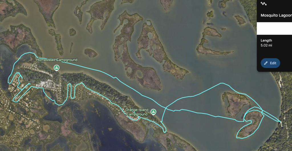
The paddle began with a launch at Canaveral National Seashore, lot #6. The weather was a spectacular 74°F, and with the ocean breeze it was almost Florida Chilly™. Our quest: to check out some of the primitive island camping sites that are available, accessible only via boat (#goals). Armed with my ancient Garmin eTrex GPS (Santa, a pair of Garmin Rino 700s, please?) complete with topo maps from 10 years ago and a woefully directionally-challenged (read: uncalibrated) compass, we jaunted across the large river with reckless abandon, eyes peeled for bottlenose dolphins and manatees—common here, but elusive today. I spotted the first campsite, somehow, with my Flintstone-age pseudo-sextant, but it was occupied. We opted to give the campers privacy, as we’d have wanted. On to the next site, a short trip to the other end of Orange Island. Around what I estimated to be the halfway mark, a mangrove-lined canal called to our adventurous spirits. In we went, caution cast to the wind, both of us eager to explore. The maze these waterways present cannot be overstated, especially without navigational aid. They are, however, full of birds, huge fish, and a nearly unearthly landscape of entwined mangroves.
Our discoveries were boundless – up to and including the way out. “Simple,” or so I thought. Not so much once anxiety comes into play – riding in on the tails of the realization the sun was far lower in the sky than I wanted it to be. It didn’t take long for “oh, hmm” to escalate into “oh, shit.” Aforementioned GPS had our tracks, but there was simply no way we’d be able to backtrack in time. Forward was the only reasonable option, as I had us navigating around the island. We had far less to go if we kept the course than if we had to backtrack. Either way, we had a cross-channel paddle left to the launch, once we found it. Also, a fleeting thought of the launch site closing at dusk, with massive fences that would be closed, propelled my worry into worry².
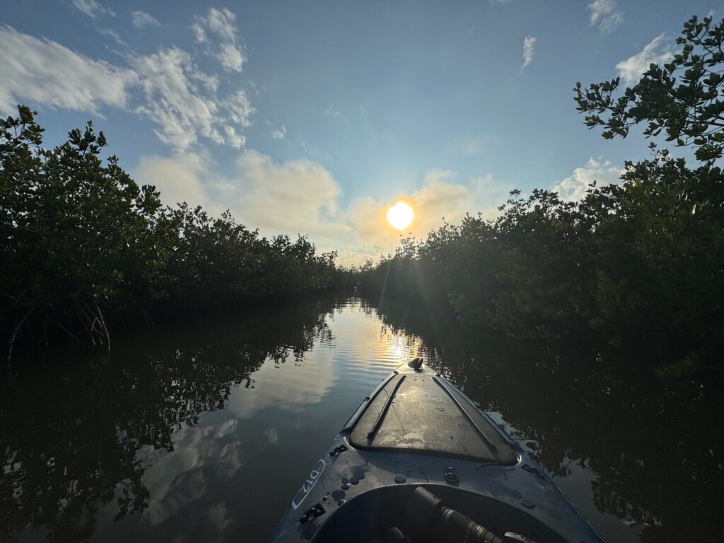
The waterways may not seem confusing from a bird’s-eye view, but the channels are narrow, some are impassable, and many of them are completely canopied overhead. Each wrong turn, many resulting in dead-ends, the overwhelming orange hue of the setting sun was a constant reminder of our fate: we’d have to navigate this in the dark if we didn’t find the open waterways quickly. My thoughts rapidly leapt into survival mode. I recurrently joke about me being kicked out of the Cub Scouts for eating all the Brownies. The truth? I was never social enough to join. But here’s the twist: despite my lack of official badges or merit, I’ve always been that guy—the one who’s annoyingly over-prepared for anything. Spare batteries? Got ‘em. Multitool? Packed. Emergency flares in a waterproof bag? Of course. But not this time. This time, I was woefully unprepared, and the irony wasn’t lost on me as we paddled deeper into the mangrove maze, cursing my lapse in judgment.
Just when I thought we might need to start weaving a hammock out of mangrove roots, I remembered my secret weapon: a fully charged phone, decent service, and Google Maps. Switching to satellite view was a game changer. Within minutes, we’d found the way out of the maze and hit open waters. My bearings came back instantly, but the sun was dropping faster than my endurance, which was clearly suffering from my lack of attendance at spin class lately. My cardio was giving me side-eye as I paddled like my life—and my pride—depended on it, certain I’d seen a sign warning the park closed at 6:30 sharp.
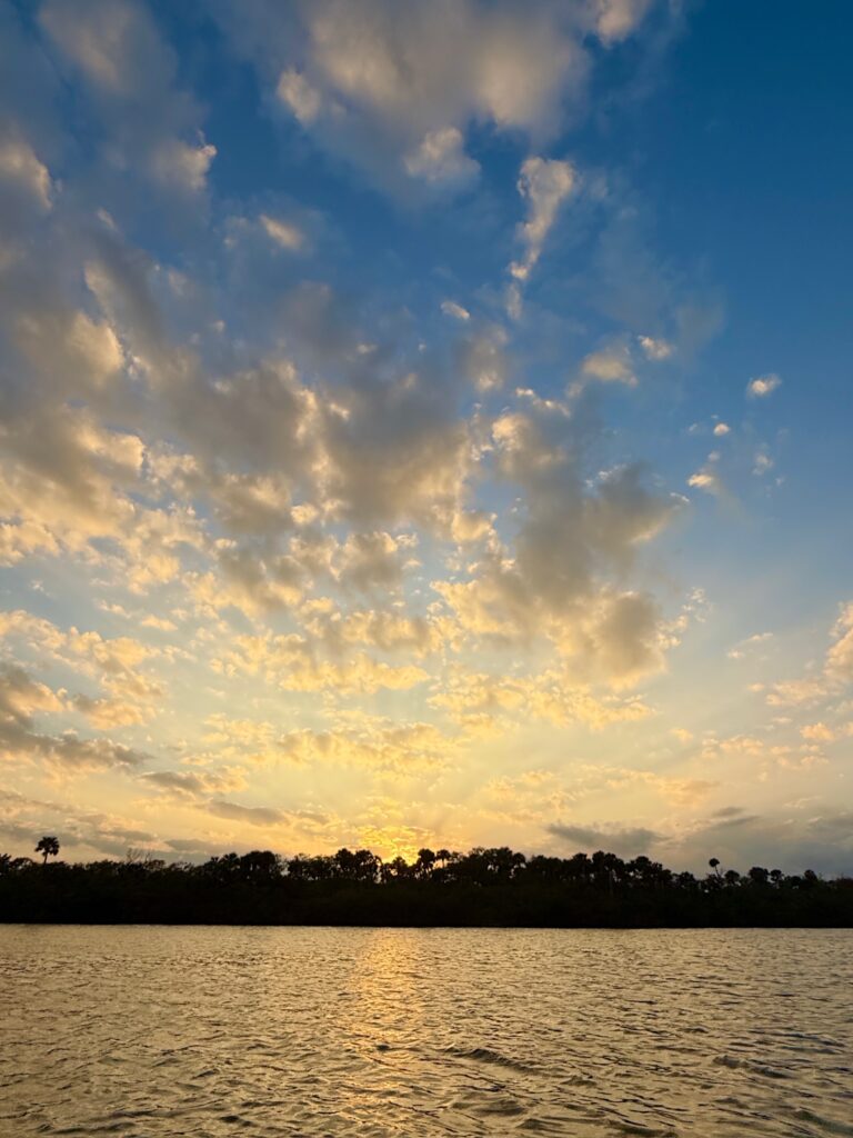
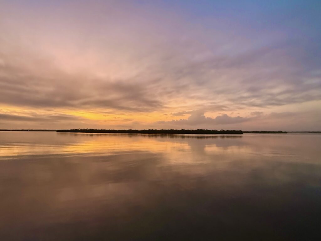
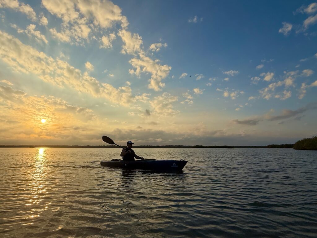
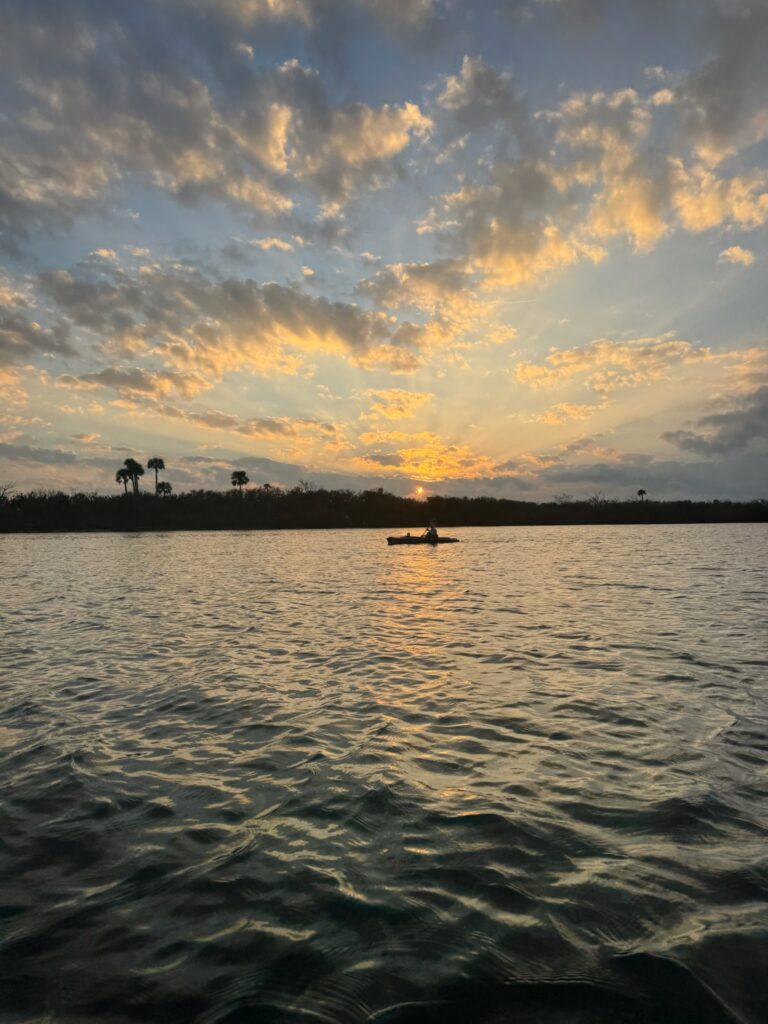
Golden hour was in full effect as we raced across the channel, the most stunning sunset imaginable unfolding while our lungs staged a mild rebellion. We reached the launch at 6:35, breathless and just starting to load the kayaks onto the car when a park ranger pulled up in a big-ass Suburban. Kind, but firm, she informed us the park was closed and she’d be waiting at the gate for us. Her politeness did little to calm my already fried nerves as we scrambled to load the boat with all the grace of caffeinated squirrels (Three cheers to the Quest Kayak Carrier that made this just a little easier).
As we drove away, both relief and exhaustion hit me. The mangroves had tested my patience, my navigation skills, and my upper body strength, but they also gifted me one of the most spectacular sunsets I’d ever paddled through. Sometimes, getting lost is part of the adventure—but next time, I’ll be ready for it. And maybe paddle like I’ve been to spin class recently.
Disclosure: Some links in the story are affiliate links. If you choose to buy anything, I will make a small commission which will be at no additional cost to you.
